County Data
All Counties
Standard Data
Premium Data
Proprietary Data
Subscriptions
Data Types
Shapefiles
DGN
KMZ
Account Roll
Mineral Roll
Industries
Electric Cooperatives GIS
Healthcare GIS
Marketing GIS
Oil And Gas GIS
Public and Private Sector Corporations GIS
Real Estate GIS
Renewable Energy GIS
State And Local Government GIS
Right-of-Way GIS
GIS Maps Online
GIS Mapbooks and Printed Maps
Blog
Get Help
Contact Us
Menu
County Data
All Counties
Standard Data
Premium Data
Proprietary Data
Subscriptions
Data Types
Shapefiles
DGN
KMZ
Account Roll
Mineral Roll
Industries
Electric Cooperatives GIS
Healthcare GIS
Marketing GIS
Oil And Gas GIS
Public and Private Sector Corporations GIS
Real Estate GIS
Renewable Energy GIS
State And Local Government GIS
Right-of-Way GIS
GIS Maps Online
GIS Mapbooks and Printed Maps
Blog
Get Help
Contact Us
Search
Search
$
0.00
0
Cart
Search Results for:
burleson
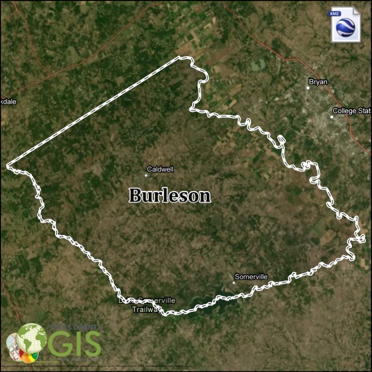
Burleson County KMZ and Property Data
$ 275
Add to cart
Burleson County, TX | GIS Shapefile & Property Data
$ 275
Add to cart
Recent GIS Data
Ward County, TX | GIS Shapefile & Property Data
$
150.00
Add to cart
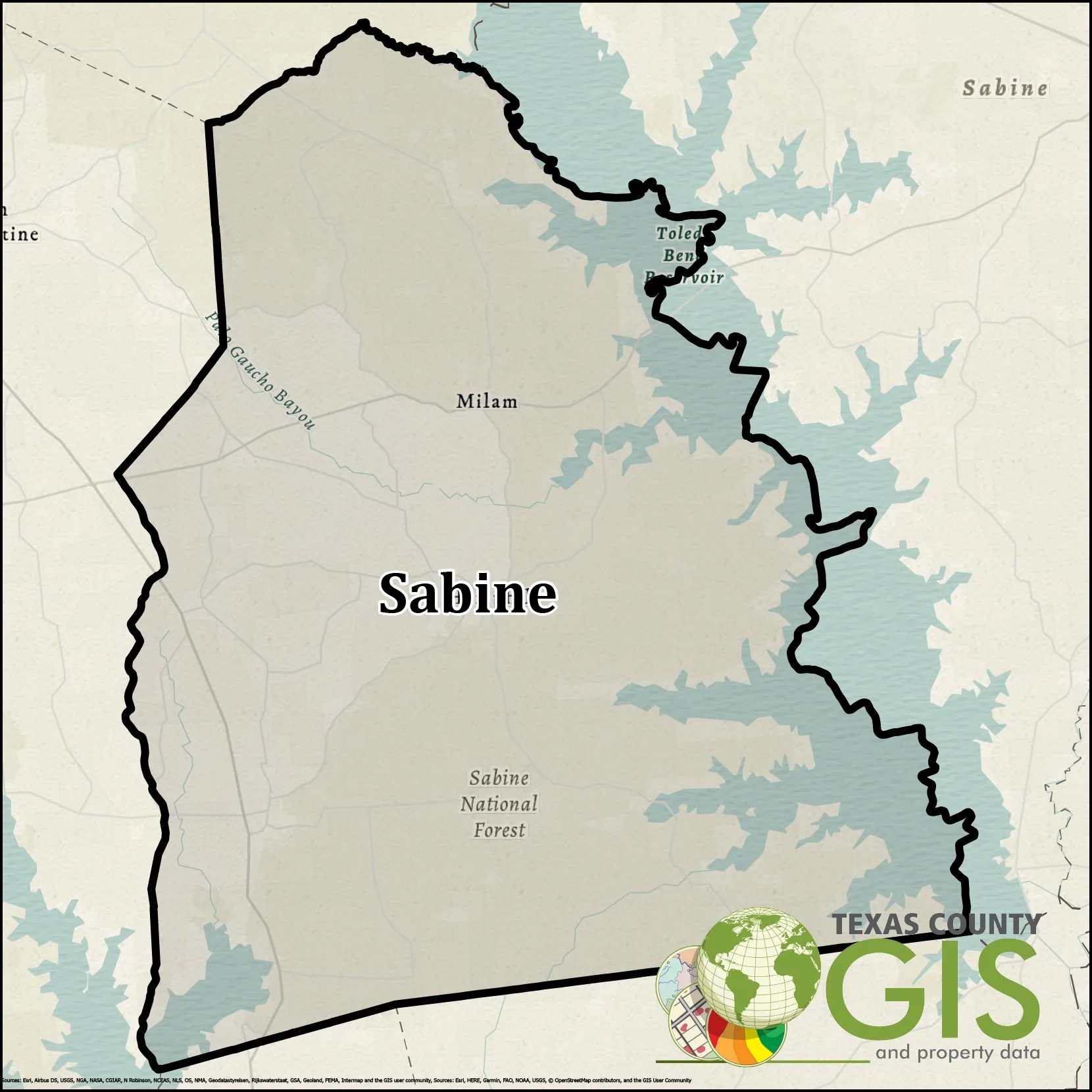
Sabine County GIS Shapefile and Property Data
$
150.00
Add to cart
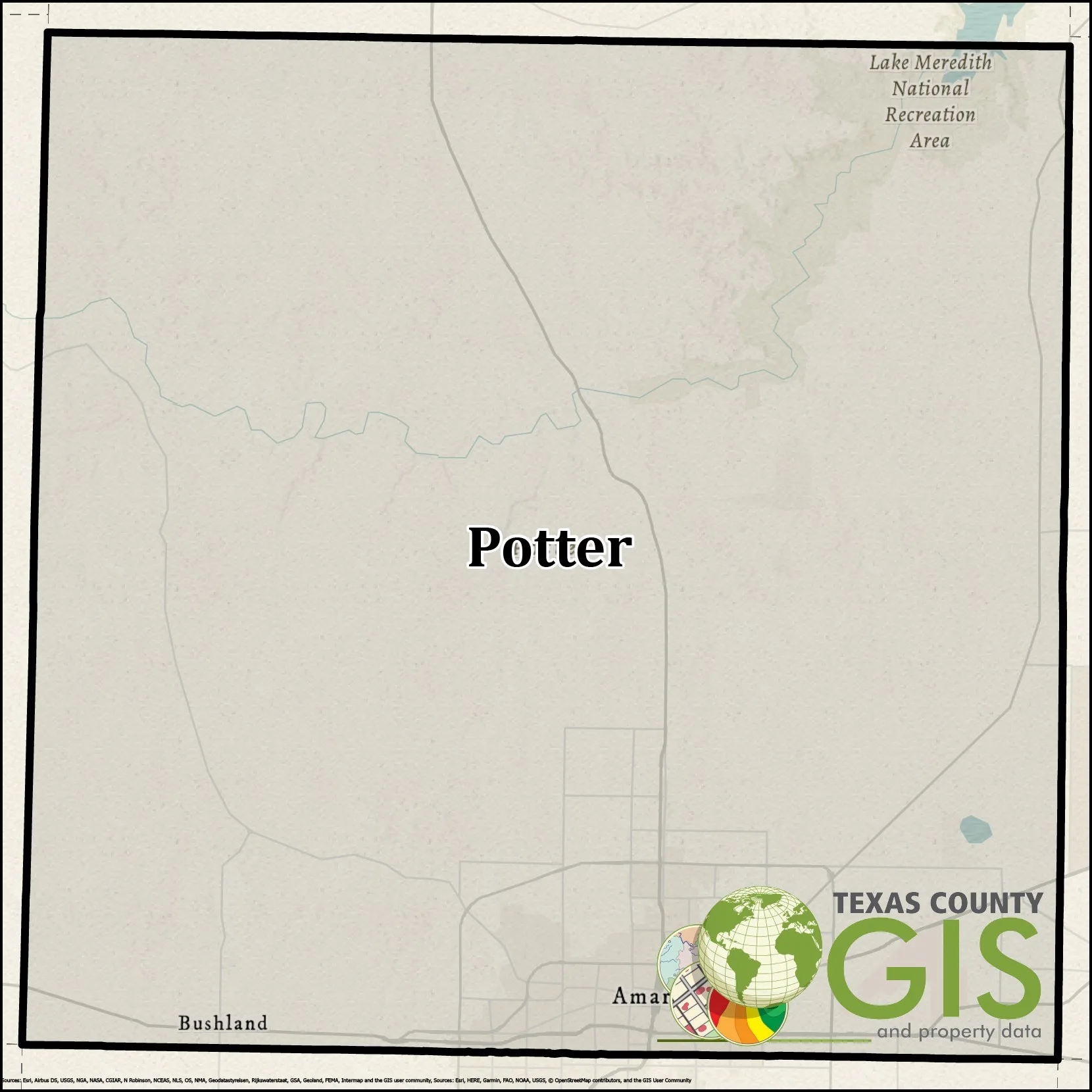
Potter County GIS Shapefile and Property Data
$
150.00
Add to cart
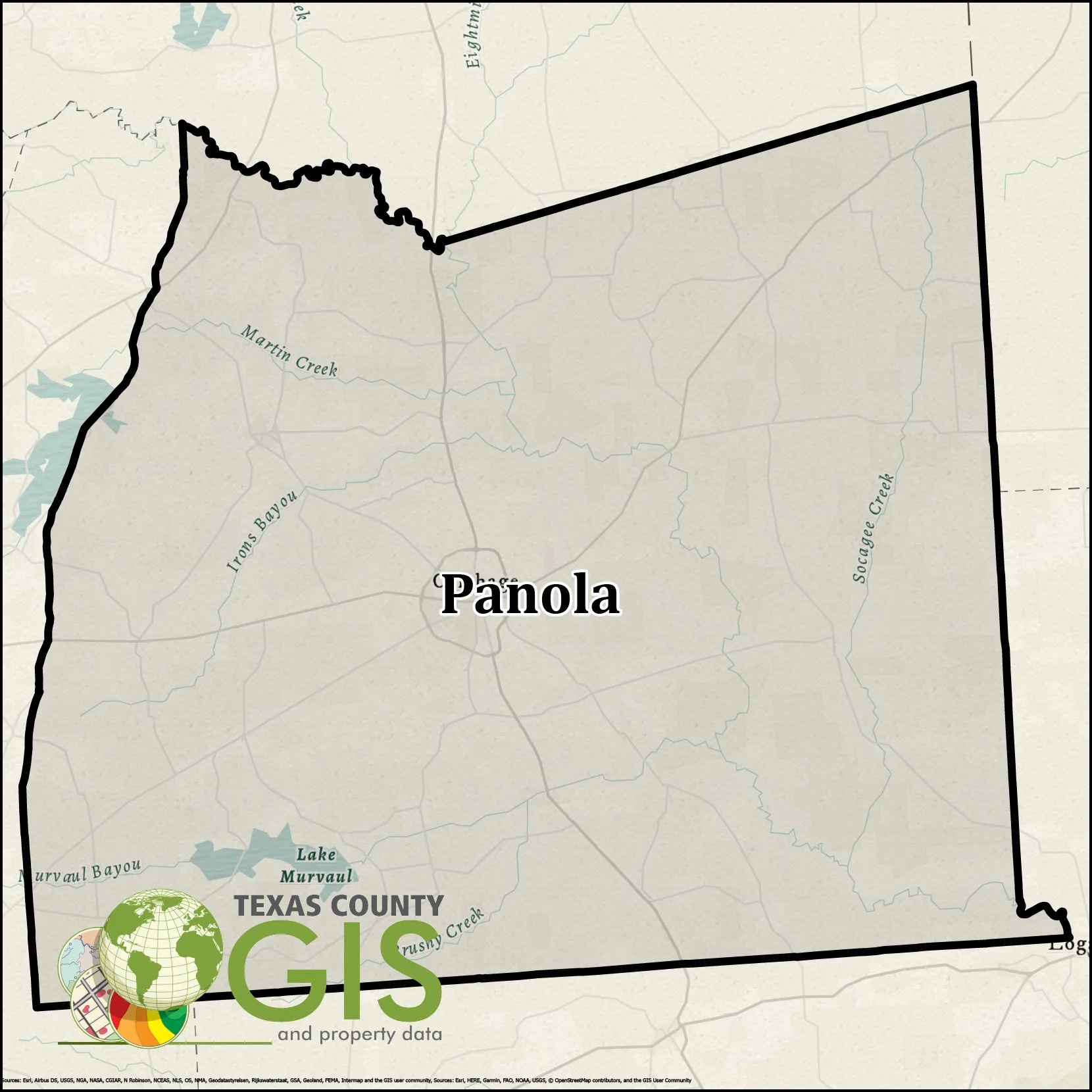
Panola County GIS Shapefile and Property Data
$
150.00
Add to cart
Nueces County GIS Shapefile and Property Data
$
150.00
Add to cart
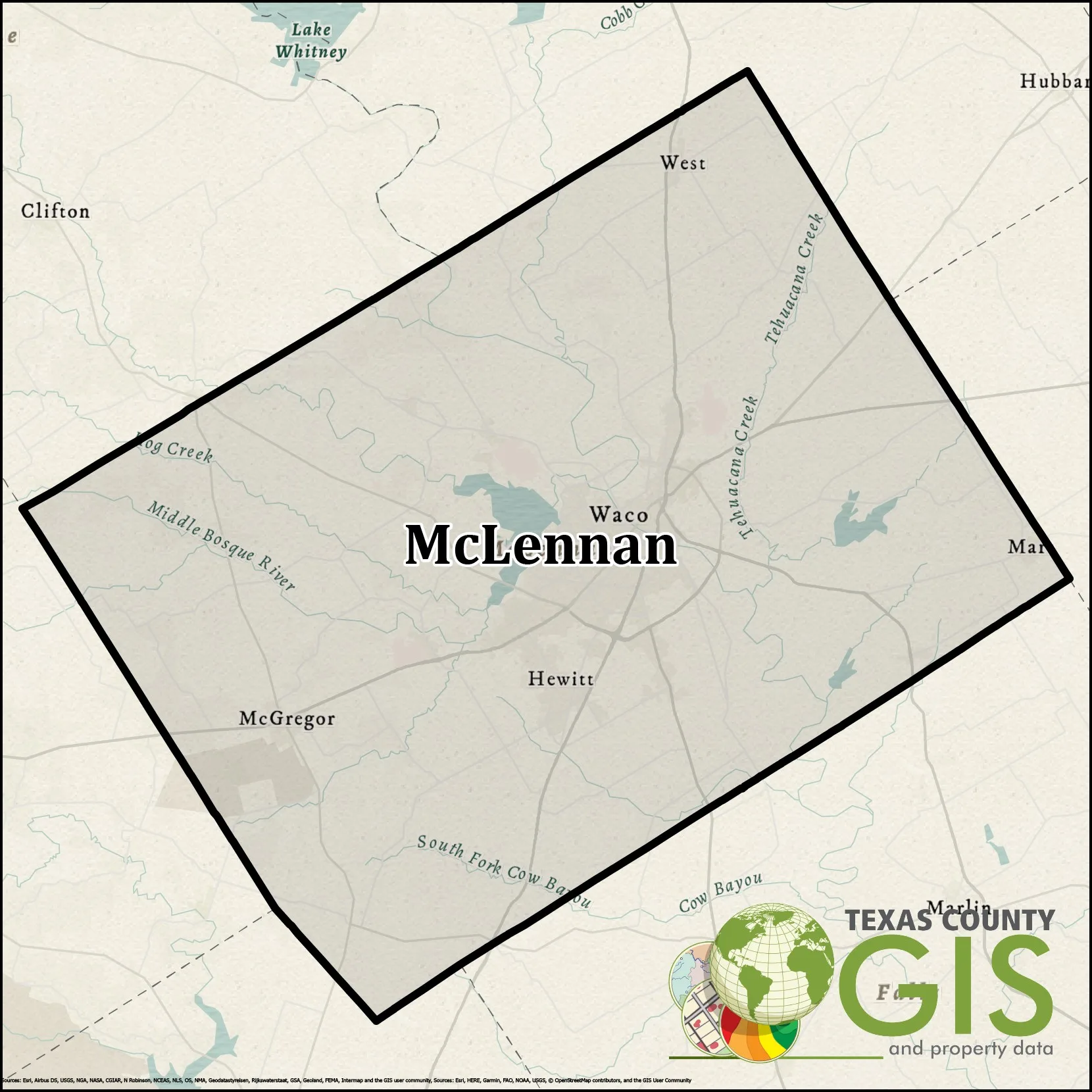
McLennan County GIS Shapefile and Property Data
$
150.00
Add to cart
Lubbock County GIS Shapefile and Property Data
$
150.00
Add to cart
Lavaca County GIS Shapefile and Property Data
$
150.00
Add to cart
Kenedy County GIS Shapefile and Property Data
$
150.00
Add to cart
Jones County GIS Shapefile and Property Data
$
150.00
Add to cart
Jeff Davis County GIS Shapefile and Property Data
$
150.00
Add to cart
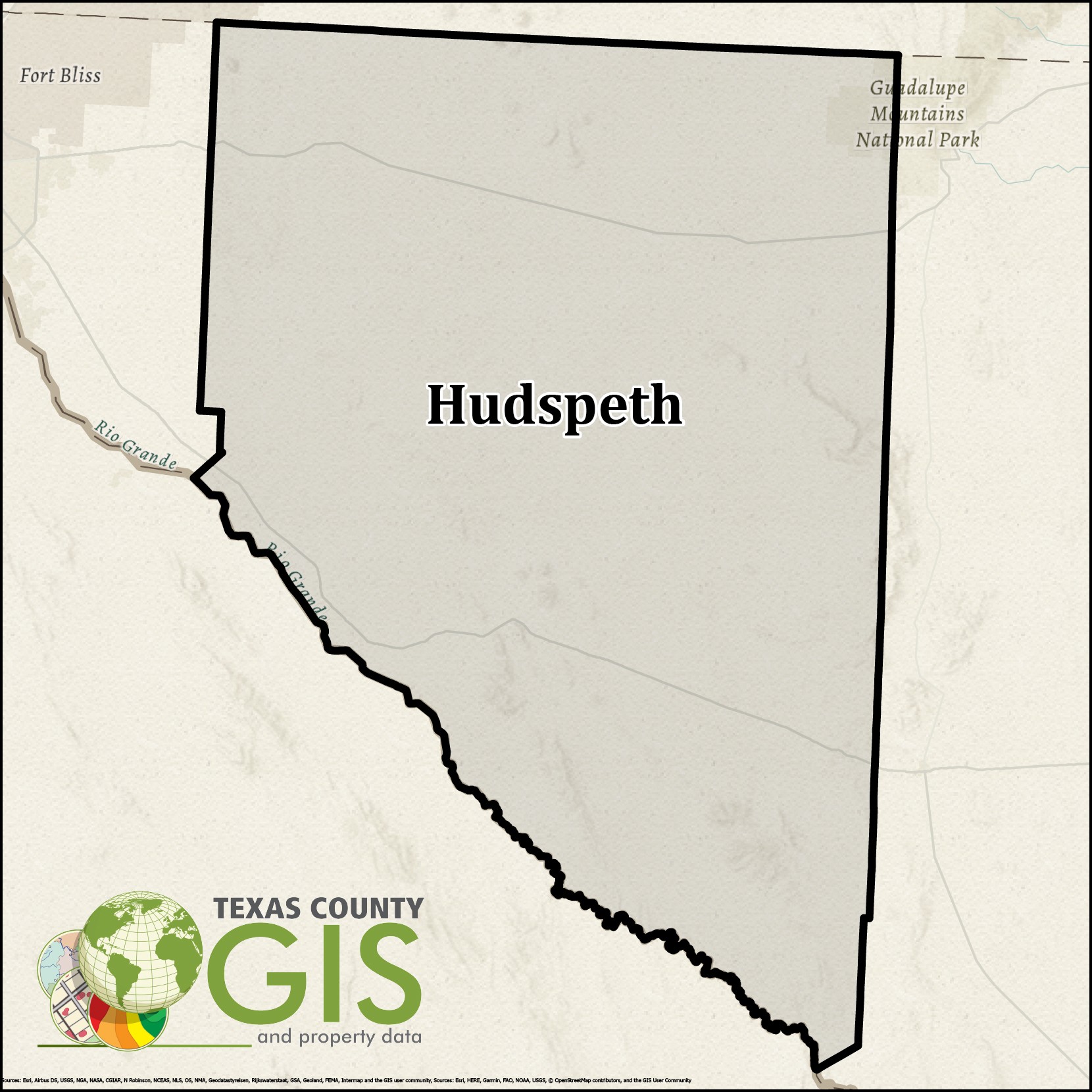
Hudspeth County GIS Shapefile and Property Data
$
150.00
Add to cart
Haskell County GIS Shapefile and Property Data
$
150.00
Add to cart
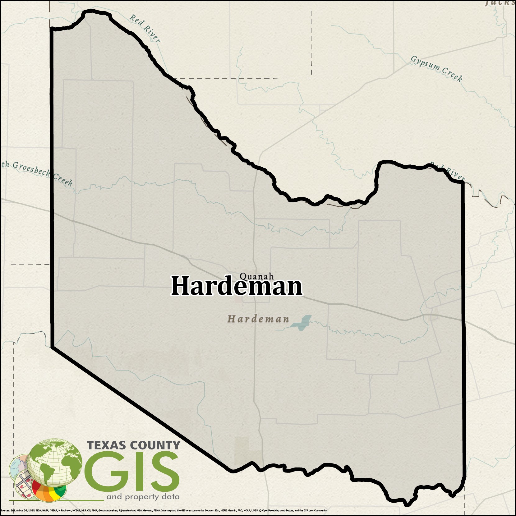
Hardeman County GIS Shapefile and Property Data
$
150.00
Add to cart
Frio County GIS Shapefile and Property Data
$
150.00
Add to cart
We use cookies to ensure that we give you the best experience on our website. If you continue to use this site we will assume that you are happy with it.
Ok
Privacy policy