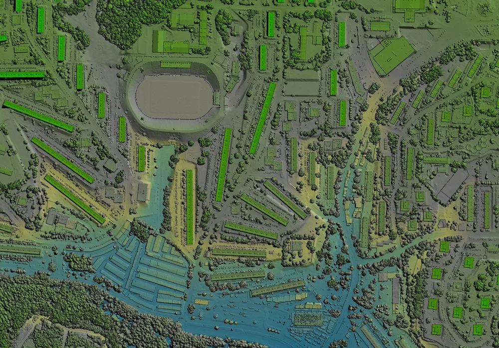
Electric cooperatives are the backbone of countless communities, delivering reliable power to homes, businesses, and industries. To further enhance your services and streamline operations, embracing GIS data is a game-changer. GIS technology allows you to visualize, analyze, and interpret spatial data, offering a dynamic approach to managing your electrical distribution network.
Electric Cooperatives GIS Data
Embrace the power of GIS data and position your electric cooperative at the forefront of innovation. By harnessing spatial intelligence, you’ll not only improve efficiency and reliability but also pave the way for sustainable growth and environmental responsibility.
Ready to light up your electric cooperative’s potential with GIS data? Contact us today to get started.
Depending on the county our data can include the following features:
Ownership
Parcel Boundaries
Lot Lines
Abstracts
Subdivisions
School Districts
Streets
Blocks/Sections
City Limits
Electric Cooperatives GIS Frequently Asked Questions
GIS enables utilities to automatically organize information by location and store all network data in a single platform – one that doesn’t require boxes of documents or burning DVDs.
GIS stands for geographic information system (GIS), which is a technological tool that’s used for comprehending geography and making intelligent real-time decisions. Electric utilities rely on GIS technology to better meet the needs of customers. GIS provides utilities with an efficient, integrated platform for data management, planning and analysis, workforce automation, and situational awareness.
Our Electric Cooperative GIS software tracks a wide range of utility and electric GIS data points, that includes Ownership, Parcel Boundaries, Lot Lines, Abstracts, Subdivisions, School Districts, Streets, Blocks/Sections, and City Limits.
We use cookies to ensure that we give you the best experience on our website. If you continue to use this site we will assume that you are happy with it.