
KMZ
A KMZ file is a compressed file format used for storing geospatial data, primarily associated with Google Earth. It is essentially a zipped version of a KML (Keyhole Markup Language) file, which contains geographic information like points, lines, polygons, and associated metadata. KMZ files are widely used for sharing and visualizing location-based data in mapping applications.
Showing 1–12 of 80 results
-
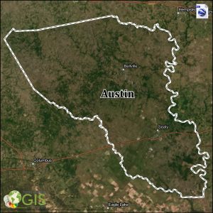
Austin County KMZ and Property Data
$275.00 Add to cart -
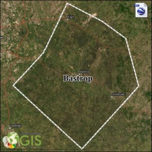
Bastrop County KMZ and Property Data
$275.00 Add to cart -

Brazos County KMZ and Property Data
$275.00 Add to cart -

Burleson County KMZ and Property Data
$275.00 Add to cart -
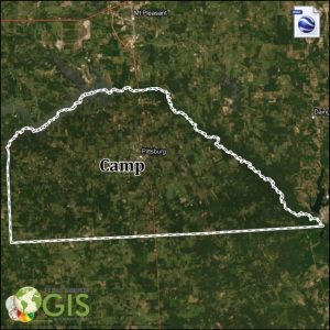
Camp County KMZ and Property Data
$275.00 Add to cart -

Carson County KMZ and Property Data
$275.00 Add to cart -
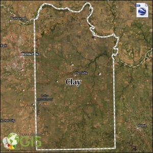
Clay County KMZ Data
$150.00 Add to cart -
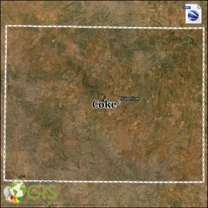
Coke County KMZ Data
$150.00 Add to cart -

Comanche County KMZ and Property Data
$275.00 Add to cart -
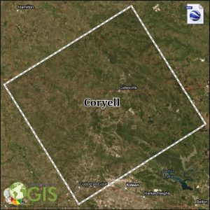
Coryell County KMZ and Property Data
$275.00 Add to cart -

Crane County KMZ and Property Data
$500.00 Add to cart -

Dallam County KMZ and Property Data
$275.00 Add to cart
Showing 1–12 of 80 results