Brazoria County, TX | GIS Shapefile & Property Data

$275.00

Data Tier: Premium

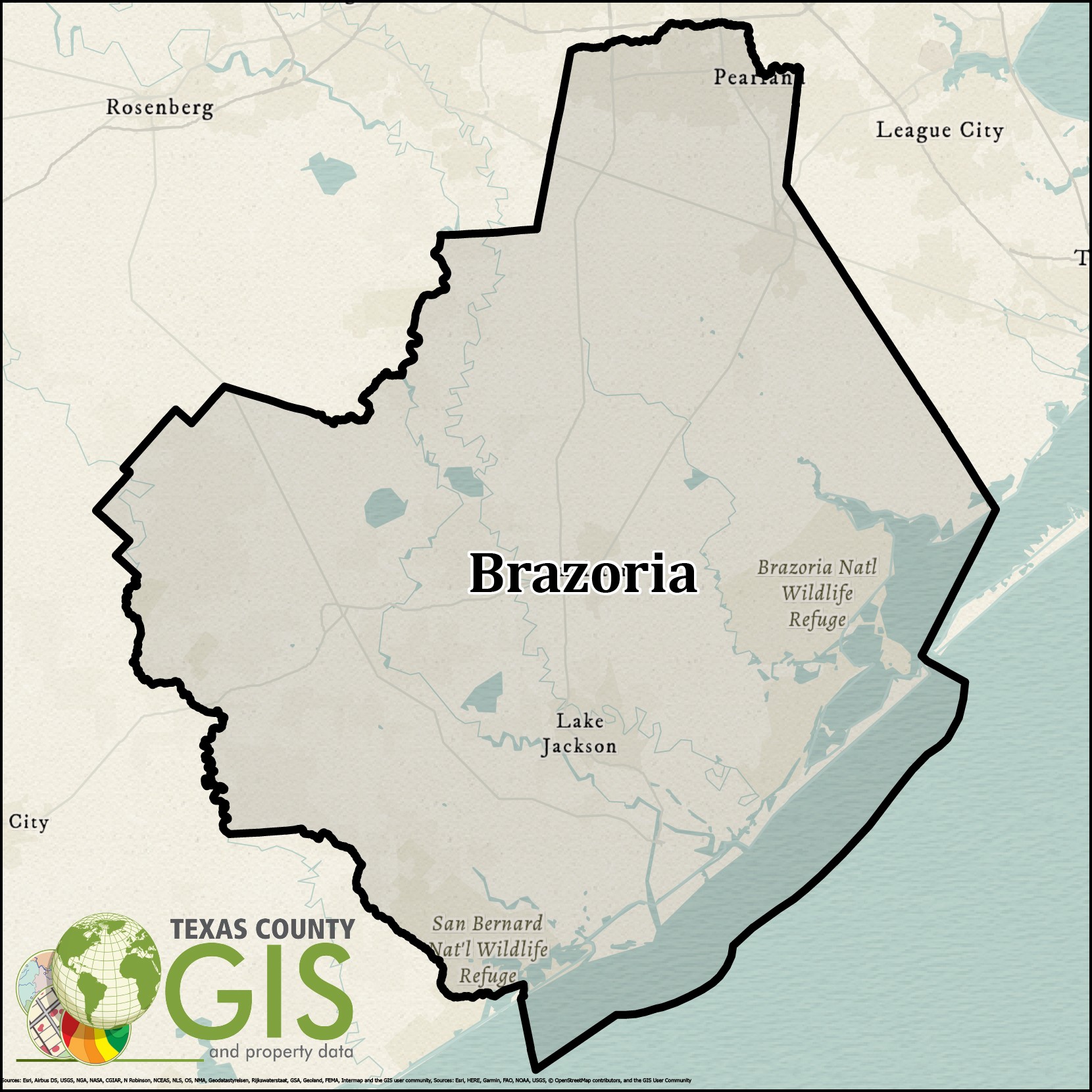
Brazoria County, TX GIS Shapefile and Property Data can be used within mapping applications to view nightly updated ownership, property values, address information, and other related property information.

We provide quality GIS datasets to a multitude of different industries including: State and Local Governments, Oil & Gas, Renewable Energy Services, Real Estate, Marketing, Healthcare, Right-of-Way, and other Public and Private Sector Corporations.

Ownership information includes the following fields:
– Prop ID (ex:52728)
– Owner Tax Year (ex: 2021)
– File as Name (ex: Owner Name)
– Legal Acreage (ex: 1.5ac)
– School (ex: Slocum ISD)
– City (ex: Palestine)
– County (ex: Anderson)
– Legal Description (ex: A0695, BLOCK 1615 TRACT 1, 2, 3A & 3G2)
– Tract or Lot (ex: 10)
– Abstract Sub Code (ex:S1405BC)
– Land Value (ex: 153009)
– Improvement Value (ex: 49843)
– Market Value (ex: 359705)
– Block (ex: 002)
– Map ID (ex: R10001)
– Geo ID (ex: R0010001)
– Situs Number: (ex: 1897)
– Situs Street Prefix (ex: N/E/S/W)
– Situs Street (ex: US Highway 287)
– Situs Street Sufix (ex: DR/BLVD/LN/CIR/ETC..)
– Situs City (ex: Palestine)
– Situs State (ex: TX)
– Mailing Address (ex: 1234 CORNER BROOK LN)
– Mailing Address City (ex: Houston)
– Mailing Address State (ex: TX)
– Mailing Address Zip (ex: 76123)
– Deed Sequence (ex: 37)
– Deed Date (ex: 08/20/1987)
– Deed Volume (ex: 1628)
– Deed Page (ex: 153)


Still unsure? Check out our Sample Dataset

Datasets Provided

Data Attributes Provided:

  • Ownership
  • Parcel Boundaries
  • Lot Lines
  • Abstracts
  • Subdivisions
  • School Districts
  • Streets
  • Blocks/Sections
  • City Limits

Please be aware that some datasets may lack complete attribute details.

Datasets for Oil/Gas wells, pipelines, and ground water wells. Data Attributes Provided:

  • API Number
  • Field Name
  • Lease Name
  • Operator
  • Completion Date
  • Well and RRC ID
  • Permit Number
  • Plugged Information
  • Depth
  • Section
  • Block
  • Pipeline Operator
  • Pipeline ID
  • Pipeline commodity

Please be aware that some datasets may lack complete attribute details.

Data Attributes Provided:

  • Prop ID (ex:52728)
  • Owner Tax Year (ex: 2021)
  • File as Name (ex: Owner Name)
  • Legal Acreage (ex: 1.5ac)
  • School (ex: Slocum ISD)
  • City (ex: Palestine)
  • County (ex: Anderson)
  • Legal Description (ex: A0695, BLOCK 1615 TRACT 1, 2, 3A & 3G2)
  • Tract or Lot (ex: 10)
  • Abstract Sub Code (ex:S1405BC)
  • Land Value (ex: 153009)
  • Improvement Value (ex: 49843)
  • Market Value (ex: 359705)
  • Block (ex: 002)
  • Map ID (ex: R10001)
  • Geo ID (ex: R0010001)
  • Situs Number: (ex: 1897)
  • Situs Street Prefix (ex: N/E/S/W)
  • Situs Street (ex: US Highway 287)
  • Situs Street Sufix (ex: DR/BLVD/LN/CIR/ETC..)
  • Situs City (ex: Palestine)
  • Situs State (ex: TX)
  • Mailing Address (ex: 1234 CORNER BROOK LN)
  • Mailing Address City (ex: Houston)
  • Mailing Address State (ex: TX)
  • Mailing Address Zip (ex: 76123)
  • Deed Sequence (ex: 37)
  • Deed Date (ex: 08/20/1987)
  • Deed Volume (ex: 1628)
  • Deed Page (ex: 153)

Please be aware that some datasets may lack complete attribute details.

Questions?

We’re happy to help, give us a call
or email us!

(800) 247-9045

info@texascountygisdata.com

Additional Information

After Purchasing

  1. Upon purchasing, you will be provided a download link on the purchase confirmation
    page. You will be allowed to download this data 5 times.
  2. The file will be in .zip format. You must have winrar or winzip installed to extract.
    Download Winrar here or Download Winzip here.

Programs Used to Open GIS Shapefiles

Example Data

Here you can download an example dataset. You will need to extract the zip file in order
to use the shapefile.

Purchase History

You may view your previous purchases by clicking on My Account and entering your
login information and then clicking on Orders.

What are Data Tiers?

Below is a breakdown of information regarding product data tiers. Each county only has a single data tier based on the data that is updated for that specific county.

  • Standard GIS Data – This data is “as is”, there is no guarantee of quality from one data set to the next, the layers will vary with each CAD. This data is collected and not maintained by Texas County GIS Data. This data is updated yearly.
  • Premium GIS Data – This data is cleaned and maintained by Texas County GIS Data. A majority of the data sets are topology free in the terms of polygons must not overlap, lines must not overlap, lines must not self-overlap, and no dangles. These data sets are updated nightly and have uniform layers. We also have a working relationship with all of these CADs.
  • Proprietary GIS Data – This data is owned and created by Texas County GIS Data. These shapefiles are not available at this quality anywhere else.

Our Data Includes These Areas in Brazoria County, TX

Zip Codes

77422 77430 77431 77463
77480 77486 77511 77512
77515 77516 77531 77534
77541 77542 77566 77577
77578 77581 77583 77584
77588

Cities

Alvin Angleton Brazoria Brookside Village
Clute Damon Danbury Danciger
Freeport Holiday Lakes Iowa Colony Jones Creek
Lake Jackson Liverpool Manvel Old Ocean
Oyster Creek Pearland Quintana Richwood
Rosharon Sandy Point Sur Sweeny
West Columbia

Questions?

We’re happy to help, give us a call
or email us!

(800) 247-9045

info@texascountygisdata.com